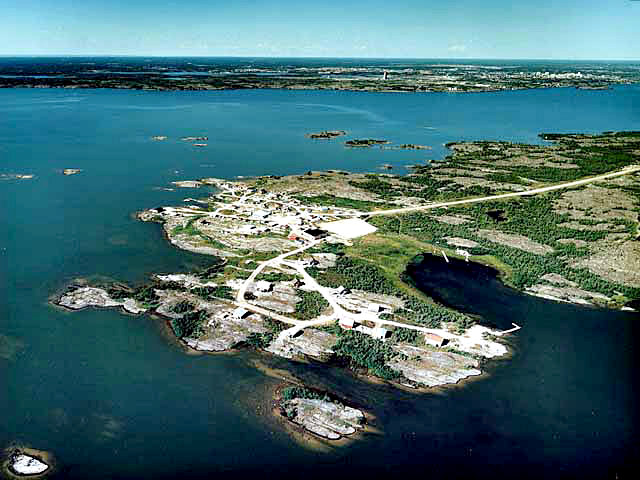
| Dettah is located at 62°24’N and 114°20’W, approximately 6.5 km by water (or ice road) and 28 km by highway from Yellowknife.
Dene people have traditionally hunted and trapped in the area. During the late-18th century, the Yellowknife Chipewyan tribe acquired guns, making it the most powerful group in the region and allowing their Chief Akaitcho to oppress the neighbouring Dene tribes. In 1823, the Dogrib began to retake their old hunting grounds under Chief Edzo who, with the help of his Yellowknife brother-in-law, Kaw-Tay-Whee, made peace with Akaitcho. Dettah was a seasonal fish camp until Yellowknife was established as a gold mining centre. |