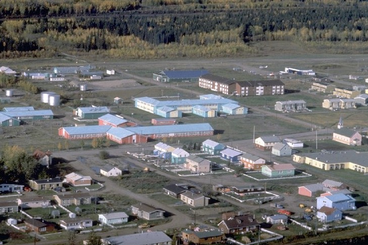
Fort Simpson is located at the confluence of the Mackenzie and Liard Rivers at 61°51’N and 121°22’W, 375 km southwest of Yellowknife.
The Northwest Company first built a trading post on the Mackenzie River at Fort Simpson in 1804, which later closed in 1812. The Hudson’s Bay Company established a post in 1822. Many unemployed York boat sailors soon followed and settled there when the company introduced the Wrigley steamboat. The Anglican Mission started in 1858, followed by the Catholic Mission in 1894. The first Indian agency opened in 1910, the RCMP established a detachment in 1913, and St. Margaret’s Hospital opened in 1916. With rich soils and relatively temperate climate, Fort Simpson became known as the Garden of the Mackenzie.
|